2012 Atlantic-Pacific Hurricane Season Track
Hurricane Paths Animated
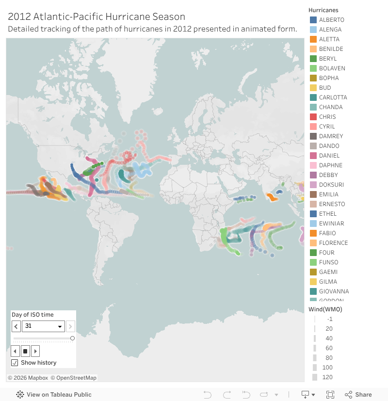
Adjusting the time step interval to "10 years" for the Illinois population map and the ISO Time to "Hourly" for the Hurricane paths map was very important in order for the animations to play. If nothing changed, then the whole time intetval for both maps would be turned off. If it was not properly adjusted with a specific time interval, then the entire animation would have been too short or too long depending on the min/max time interval.
Go Home


Comments
Post a Comment